
Do not hide symptoms
Tell the guide early. Confusion, loss of coordination, inability to walk normally or breathlessness at rest require urgent action.

Risk, prevention and emergency planning
Usually, with preparation and a capable authorized operator. But regulation does not remove altitude, steep terrain, severe weather or the delay of reaching medical care.
The right question is not whether the trail is perfectly safe. It is whether your health, preparation, equipment and operator make the known risks manageable.
Permits, checkpoints and mandatory authorized operators create structure. Beyond the trailheads, however, there is not road access beside every section. A minor problem can become serious when symptoms are hidden or decisions are delayed.
This page provides general travel-planning information. It cannot assess your medical fitness, diagnose symptoms or replace your guide, clinician, insurer or emergency services.
Plan for what is most consequential
These priorities are an editorial planning assessment—not measured probabilities. Peru does not publish a sufficiently detailed public dataset for us to calculate an honest accident rate by cause.
| Risk | Planning priority | Best first defense |
|---|---|---|
| Altitude illness | High | Acclimatize, report symptoms early and never continue higher with worsening symptoms. |
| Slips and falls | High | Use footwear with grip, trekking poles and a controlled pace on wet or uneven steps. |
| Cold, rain and sun | High | Carry waterproof layers, insulation and sun protection in the daypack—not with a porter. |
| Fatigue and dehydration | Medium | Train for consecutive hiking days, eat regularly and drink treated water normally. |
| Stomach illness | Medium | Use safe food and water practices and carry personal medication discussed with a clinician. |
| Crime and wildlife | Lower | Follow the guide, secure valuables and never feed or approach wildlife. |
Altitude and terrain
The Classic route crosses Warmiwañusca at approximately 4,215 m / 13,828 ft. Fitness helps you climb, but it does not prevent altitude illness. A new headache after ascent—especially with nausea, dizziness or unusual fatigue—must be reported.
Read the complete altitude guideTell the guide early. Confusion, loss of coordination, inability to walk normally or breathlessness at rest require urgent action.
Practice with both poles before the trip: they add contact points and can reduce lower-limb loading on steep descents. One small laboratory study measured 12–25% reductions in specific knee forces and moments—not a universal 25% reduction or proof that poles prevent every fall. Controlled pace, grip and attentive foot placement remain essential on wet stone or loose gravel.
Waterproofs, insulation, water, sun protection and personal medication belong in the daypack, not a porter duffel.
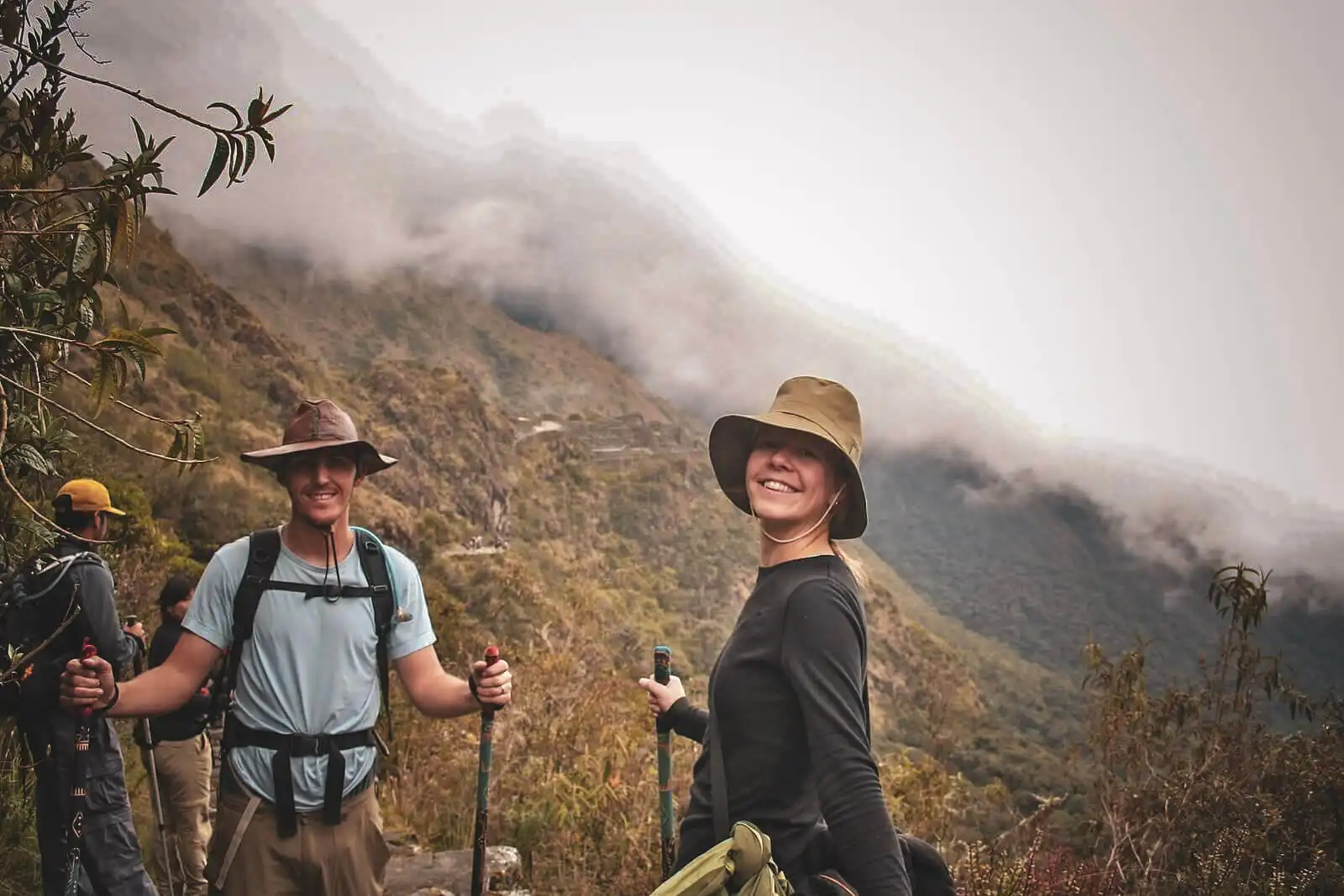
Weather changes walking conditions
Rain reduces grip and visibility, increases cold exposure and can contribute to landslides or official restrictions. Slow down before the ground becomes difficult, not after a fall.
Energy, food and water
Fatigue can reduce balance and judgment. Start hydrated, eat before appetite disappears and treat blisters or stomach symptoms while they are still manageable.
Use water supplied or treated by the operator. When treating it yourself, CDC guidance identifies boiling as the best method for killing germs; otherwise filter and then disinfect when possible.
Eat regular meals and familiar snacks. Tell the guide about repeated vomiting, diarrhea, inability to drink or weakness that affects walking.
A sustainable pace is safer than racing to camp. Train for stairs, downhill control and back-to-back hiking—not just one long day.
Seek individual advice for heart or lung disease, pregnancy, significant mobility limitations, prior severe altitude illness or medication questions.
Evacuation is location-dependent
Response can involve walking back or forward, assisted descent, a carried evacuation, rail access, road transfer or professional emergency help. The appropriate method depends on the person’s condition, exact location, weather and instructions from authorities.
Do not accept a universal promise such as “a helicopter will arrive” or “the hospital is two hours away.” Ask the operator to explain the realistic plan for every trekking day.
Insurance must match the activity
Treat suitable travel insurance as non-negotiable. Confirm in writing that the policy covers trekking above the route’s maximum elevation, emergency evacuation, local treatment, hospitalization, repatriation and trip interruption. Check exclusions for pre-existing conditions, alcohol, unsupported activities and government closures.
Coverage does not guarantee that a helicopter or immediate rescue will be available. Location, weather, medical need and local capability determine the response; some insurers also require pre-authorization or payment before reimbursement.
CDC adventure-travel guidance warns that policies may exclude wilderness rescue or adventure activities and that travelers may need to pay costs up front. Australian Smartraveller specifically advises Peru visitors to ensure insurance covers emergency evacuation from altitude and related medical costs.
Choose the exposure you can manage
Avoids the highest Classic passes and camping, reducing cumulative fatigue and overnight exposure. Practical walking totals commonly exceed the official approximately 10.5 km protected corridor because pickup, access and visitor circuits vary.
Includes multiple high passes, three nights of camping and sustained stone stairways. SERNANP’s mapped protected corridor is approximately 33.7 km; practical itinerary and GPS totals are often longer depending on endpoints and measurement.
A logo cannot prove readiness
Experience matters when it can be translated into current training, equipment, staffing, communication and a route-specific response plan.
Final check
Straight answers
For most appropriately prepared travelers, the regulated routes are manageable with a competent authorized operator. They are not risk-free: altitude, steep stone steps, changing weather and delayed access to medical care require real preparation.
There is no reliable public dataset that ranks every incident. In practical planning, altitude illness, falls on uneven steps, exposure to weather and exhaustion deserve the most attention because they can worsen quickly or affect the ability to continue.
It avoids the Classic route’s highest passes and camping, so it generally reduces exposure to altitude, fatigue and overnight weather. It still includes steep, uneven terrain and a demanding day at elevation.
Tell the guide immediately. The response may include rest, assessment, first aid, descent or evacuation. The route does not have road access beside every section, so timing and method depend on location, condition and weather.
Treat suitable insurance as essential even when a booking does not legally require it. Confirm trekking elevation, emergency evacuation, hospitalization, trip interruption and any relevant pre-existing-condition rules in writing.
The official Inca Trail network was closed throughout February 2026 for annual conservation and maintenance, reopening March 1. Do not book a trek that conflicts with the current official closure calendar.
Many can, but beginner status is less important than preparation, acclimatization, health, pacing and a realistic route choice. Complete progressive hill and stair training and discuss relevant medical concerns before travel.
Carry personal medication, blister care and items recommended by your clinician. The operator should explain the group kit; your small personal kit complements it rather than replacing professional planning.
We separate verified official facts from practical recommendations. Risk priorities are our editorial assessment because no sufficiently detailed public incident dataset supports a precise Inca Trail accident rate.
Medically reviewed August 10, 2026 · Corrections: contact our editorial team
Safety begins before booking
Check official permit availability, then compare who will be responsible for the group on the trail.