
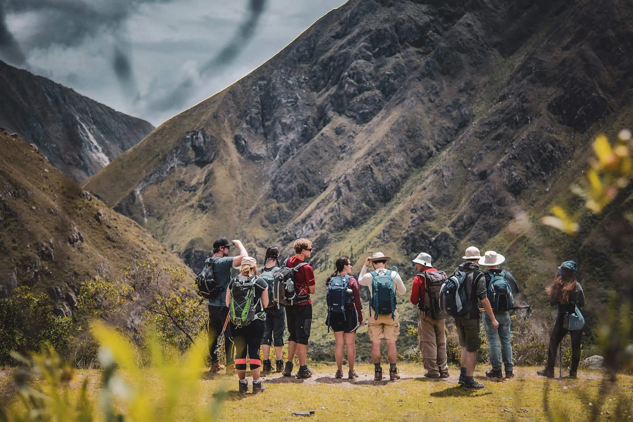
The four-day route · in walking order
Inca Trail
photos
Not only the postcard finish. See the open valley, sustained climbs, original stone, cloud forest and archaeological sites that make the approach to Machu Picchu a journey.
One trek.
Four visual worlds.
The Classic Trail never holds one look for long
Search results tend to collapse the experience into one Machu Picchu panorama. The route itself is more revealing: a dry river valley, exposed puna, stone stairs, wet forest and architecture built into steep ground.
This gallery follows the usual four-day sequence. Camps and exact timing vary by assigned itinerary, while weather can transform the same view within minutes.
Read the complete 4-day routeDay 01 · Km 82 to the first camp
The journey begins in a lived-in valley
Rail, river and farmland remain visible near the trailhead. Patallaqta is the first strong proof that archaeology will sit inside the landscape—not wait only at the finish.
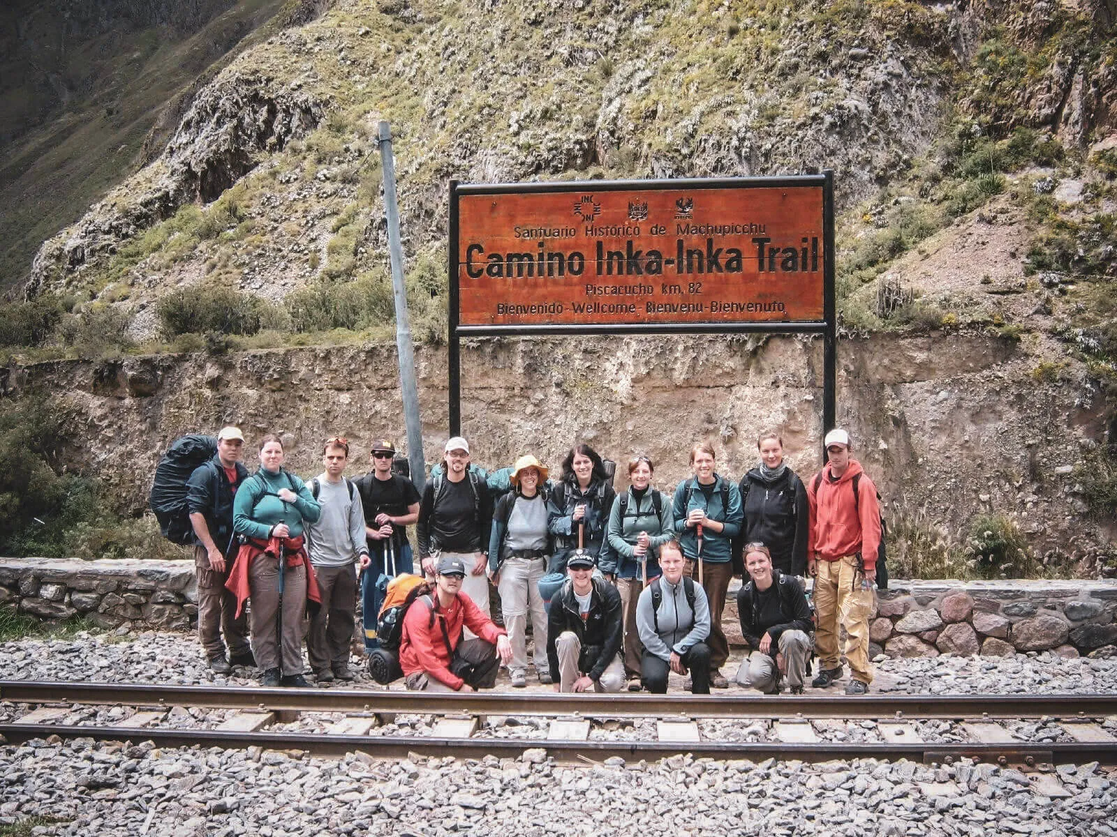
The familiar trailhead photograph sits beside the railway. From here, the Classic route continues on foot through controlled access.
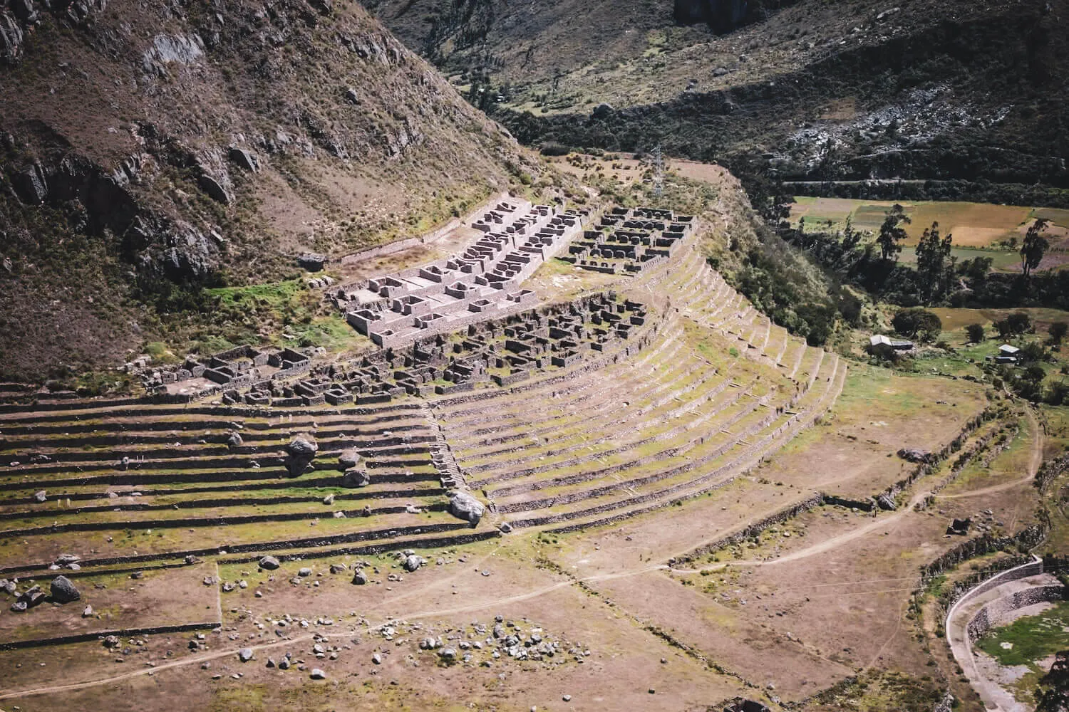
Terraces, buildings, cultivated ground and surrounding slopes read as one cultural landscape.
Day 02 · High Andes
Scale replaces detail
The camera can record the valley, but it cannot reproduce thin air or the accumulated ascent. Warmi Wañusqa is the Classic route’s highest marked point.
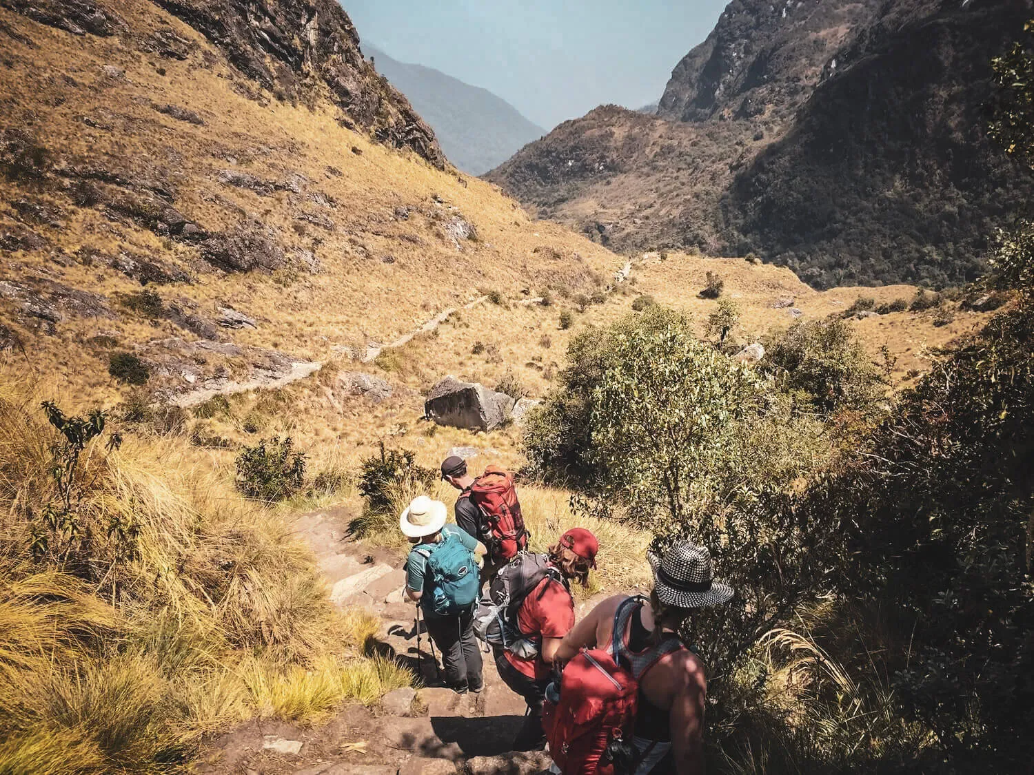
Irregular stone and sustained elevation change matter as much as the mountain background when judging route difficulty.

The achievement photo at Dead Woman’s Pass; conditions can be clear, cold, windy or clouded.
Day 03 · Archaeology + cloud forest
The most visually layered day
Stone structures become more frequent as high grassland gives way to humid vegetation. Clear and misty frames can come from the same day.
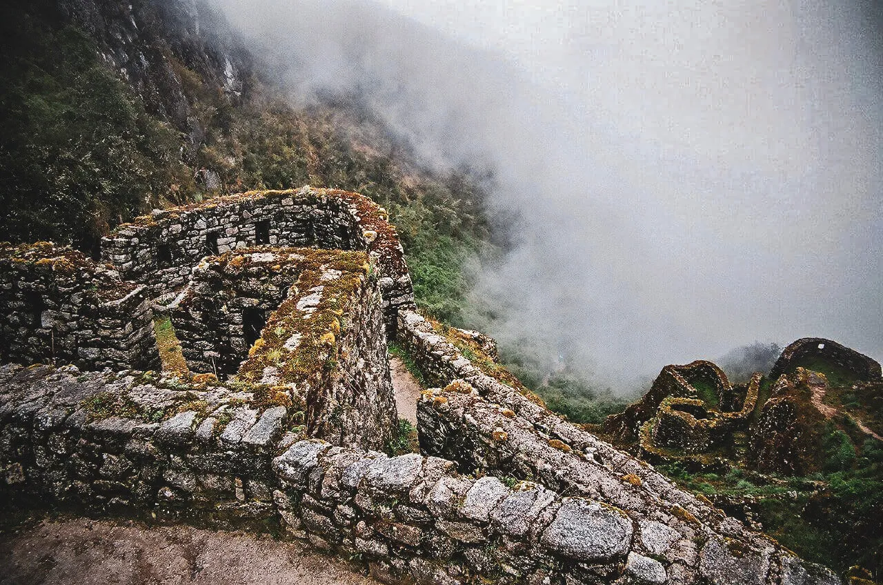
Curved masonry and a cloud-filled drop make this small site immediately distinct.
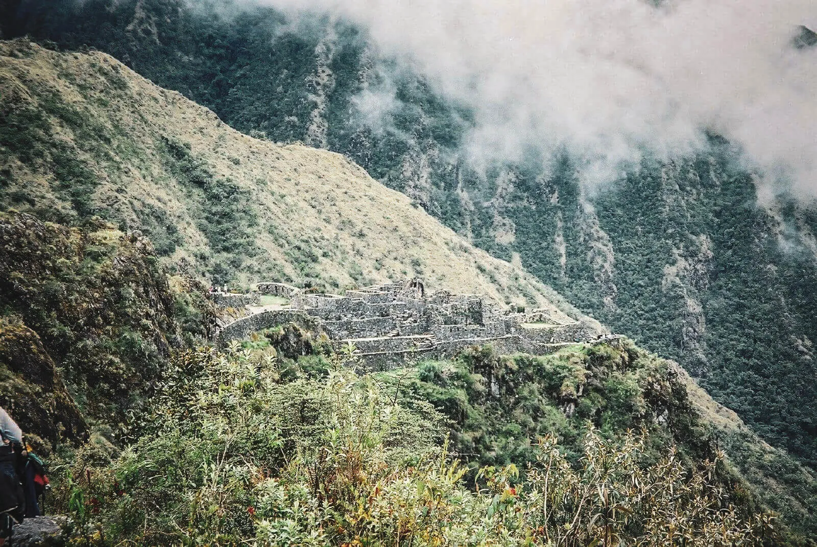
Architecture, exposed slope and forested mountains share the frame.
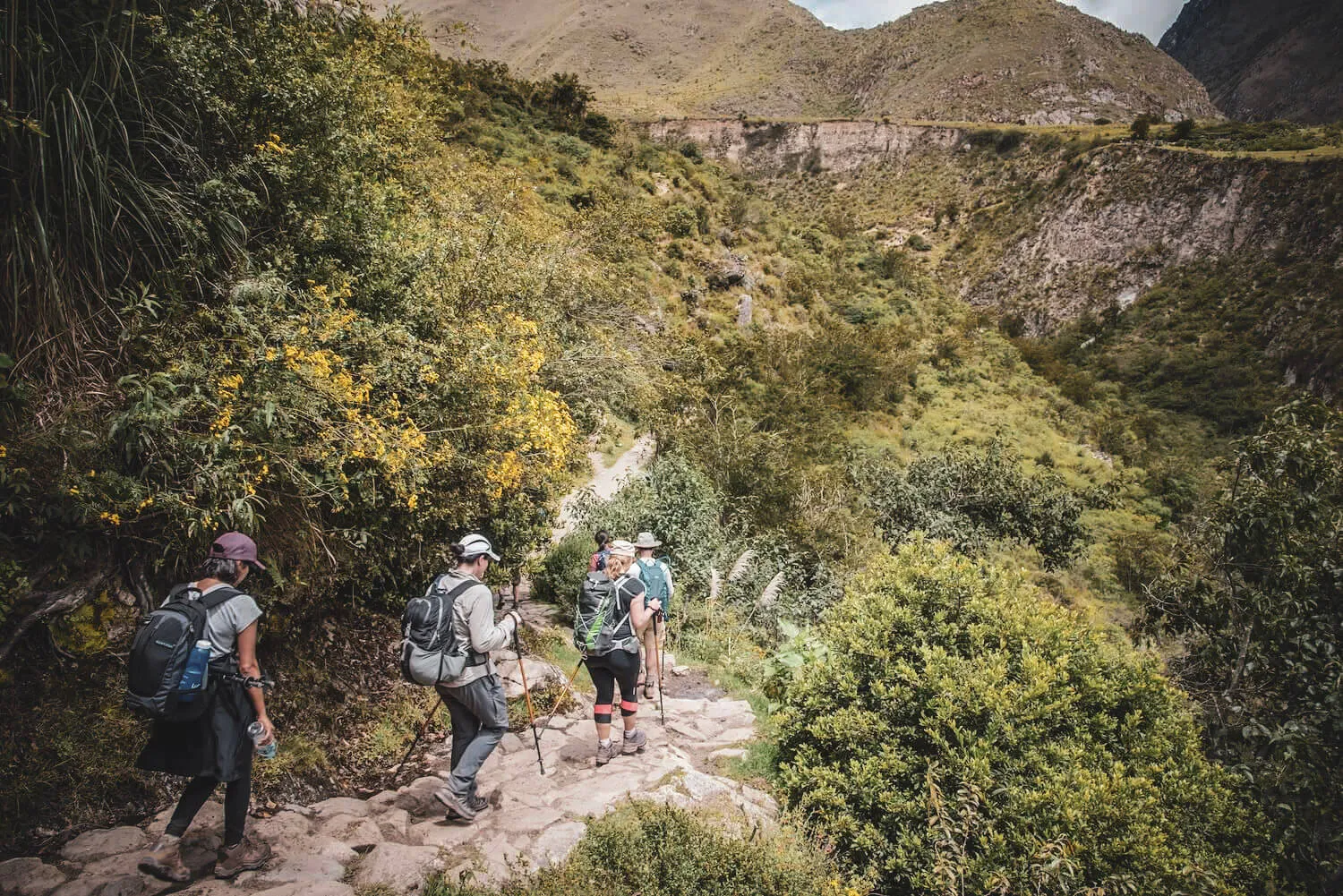
On Day 3, long stone descents are not just foreground—they are part of the historical experience.

Weather is an editor
Mist removes distance and reveals atmosphere
Cloud can erase the horizon, isolate a ruin and make vegetation feel denser. A muted view is still an honest Inca Trail photograph.
Compare seasonal conditions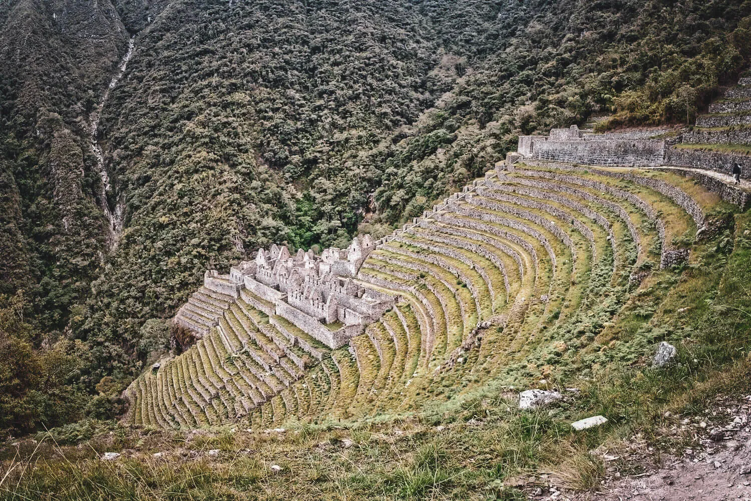
The site’s curved terraces are best understood from a wide approach view.
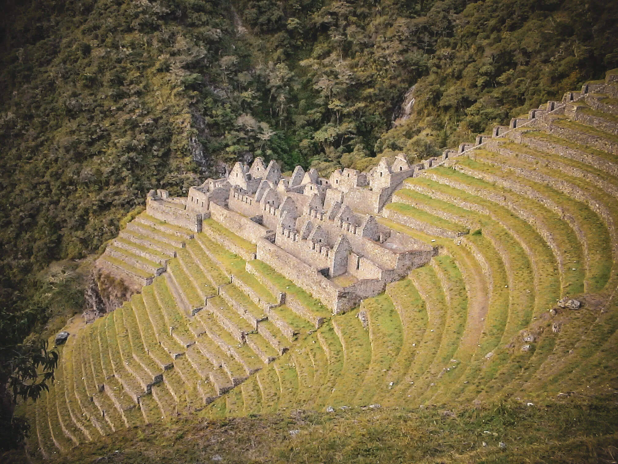
A closer frame shows how buildings and terraces occupy the same steep mountainside.
Day 04 · Intipunku to Machu Picchu
Arrival is a sequence, not one postcard
The sign, the upper corridor and the final site belong to different moments. Cloud may delay or completely obscure the famous first view.
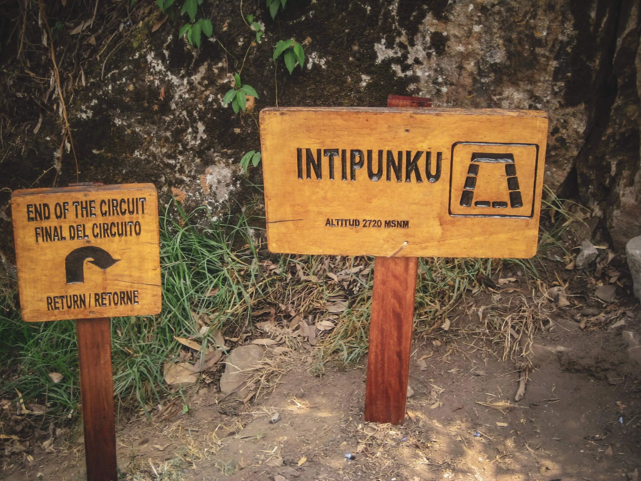
The Sun Gate marks the traditional Classic Trail approach toward Machu Picchu.
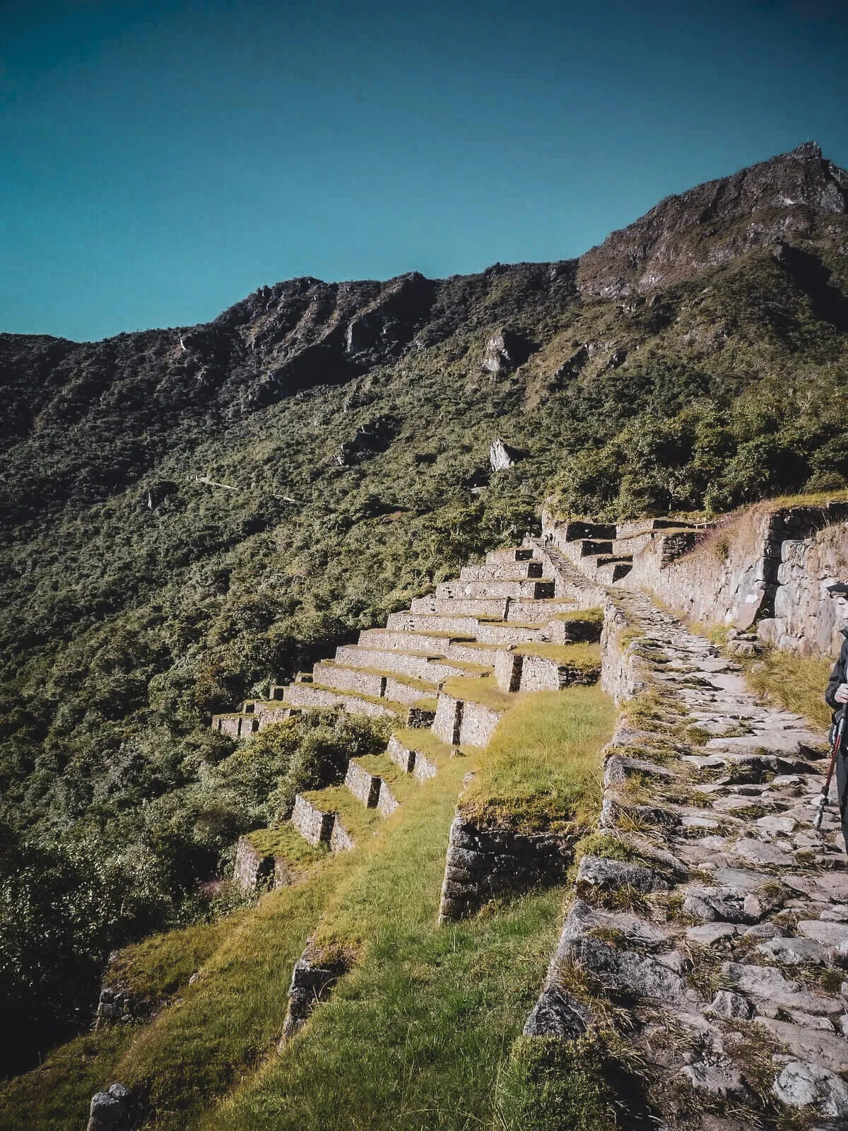
Even near the destination, the road and terraces remain part of the view.

The recognizable citadel panorama is the final image—not a summary of everything walked before it.
Use photos as planning evidence
Look beyond blue sky and smiling hikers
- 01Read the surface
Inspect step height, loose edges, wet stone and where trekking poles can actually land.
- 02Read the scale
A person in frame helps reveal slope, wall height and how exposed a trail section feels.
- 03Read the weather
One clear frame is not a forecast. Compare mist, shade and exposed sections.
- 04Read the sequence
The high pass, cloud forest and ruins are connected by hours of walking—not adjacent photo stops.
Turn the gallery into a date
See whether the route is available
Photos answer what the Classic Trail looks like. Permit availability determines whether that exact route can fit your trip. Results are planning signals, not confirmed bookings.
Understand the permit systemFind a departure
Checking availability
Please wait while we check the selected date.
Dates in the same month currently showing permits
Availability data may be delayed. It does not guarantee a permit, tour departure or confirmed booking.
The questions behind the images
Inca Trail photo FAQs
What the archive shows—and what it cannot promise.
What does the Inca Trail actually look like?
It changes from an open Andean valley to high passes, stone roads, humid cloud forest and archaeological sites. No single photograph represents the whole four-day route.
Where is the first view of Machu Picchu?
Classic Inca Trail hikers traditionally approach through Intipunku, the Sun Gate. Weather matters: cloud can hide the view even when the route and site are open.
Which day is the most scenic?
Day 2 has the broadest high-mountain scale; Day 3 has the richest mix of stone road, forest and archaeology; Day 4 carries the emotional arrival. The best day depends on what you want to photograph.
Are the Inca Trail stairs really that steep?
Some climbs and descents are genuinely steep and irregular. Wide-angle photographs can distort the grade, but the sustained stone steps are a real physical feature of the Classic Trail.
Does the trail look different in the rainy season?
Yes. Wetter months generally bring denser greens, wet stone and more cloud or mist. Drier months often allow longer views, but clear weather is never guaranteed in the mountains.
Can I take a drone on the Inca Trail?
Do not plan around drone photography. The route is a protected, regulated cultural and natural landscape; confirm current equipment restrictions with the competent authorities and your authorized operator.
Image and caption policy
This gallery uses the project’s field-photo archive and labels locations only where the visual evidence and existing archive assignment support the identification. Weather and visitor conditions shown are moments, not promises.
Images are presented in general route order; they do not document one continuous departure. We preserve natural aspect ratios and write descriptive alternative text instead of repeating captions.
Reviewed August 9, 2026 · Corrections, provenance questions or image contributions: contact our editorial team.
The camera records a fraction
The route connects every frame
Study the map, understand the physical demands and choose dates before comparing an authorized operator.