
Broadest sequence
Classic Inca Trail
Willkaraqay · Patallaqta · Runkurakay · Sayaqmarka · Qonchamarka · Phuyupatamarka · Intipata · Wiñay Wayna · Intipunku
Open the route guide →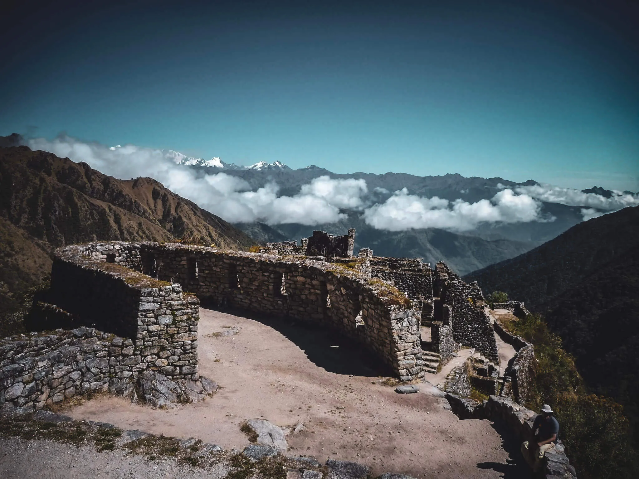
The destination begins before Machu Picchu
The Classic and Short routes pass through different sequences of roads, terraces, settlements, water systems and gateways. Read them in walking order.
There is no single official number of “ruins.”
Totals change when a list includes smaller sites, viewing areas, Intipunku or Machu Picchu itself. Counting is less useful than seeing how road, terraces, water and buildings connect across the journey.
This guide names the principal complexes and absorbs smaller sites rather than manufacturing thin pages for each one.
Follow the Classic sequenceChoose the archaeological scope
Both use historic road toward Machu Picchu. The Classic route supplies the broad corridor; the Short route joins the final concentration.
Broadest sequence
Condensed final corridor
Why published totals disagree
One guide may begin with Patallaqta while another includes nearby Willkaraqay. Some count Qonchamarka, Intipata and Intipunku separately. Others append Machu Picchu as the final “ruin.”
Our route order uses nine principal Classic stops before Machu Picchu, while acknowledging smaller remains and alternative naming. It is an editorial navigation system—not a claim that archaeology has one universal count.
Classic Trail · walking order
Daily placement varies with itinerary and camp logistics. The sequence—not a promised clock time—is the stable way to understand the corridor.
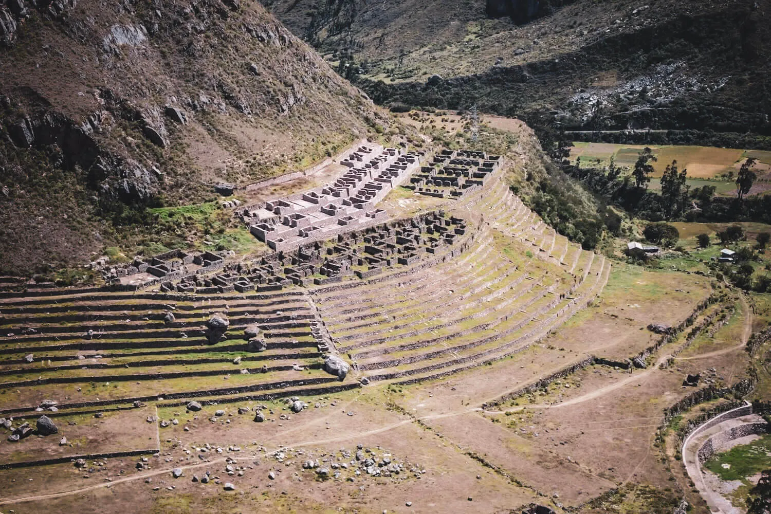
Early Classic section
Early Classic section
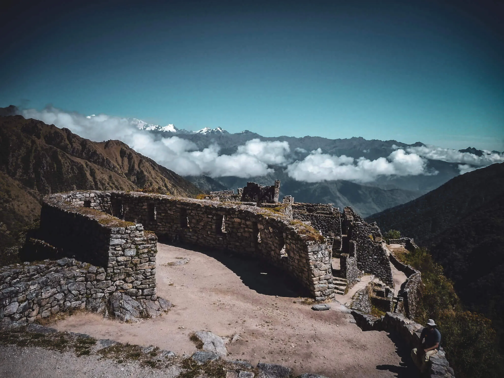
High mountain section
After the second-pass area
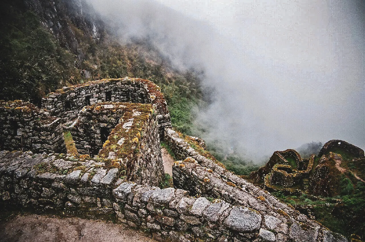
Near Sayaqmarka
Elevated Classic section
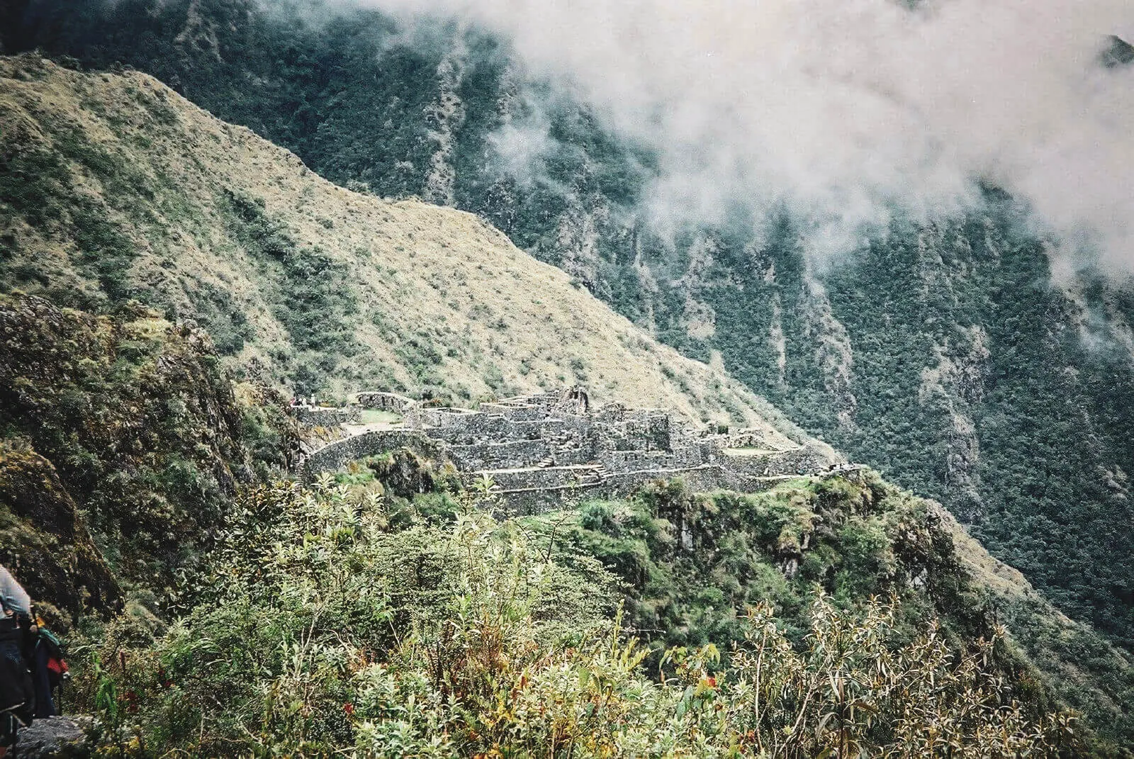
Approaching Wiñay Wayna
Shared final corridor
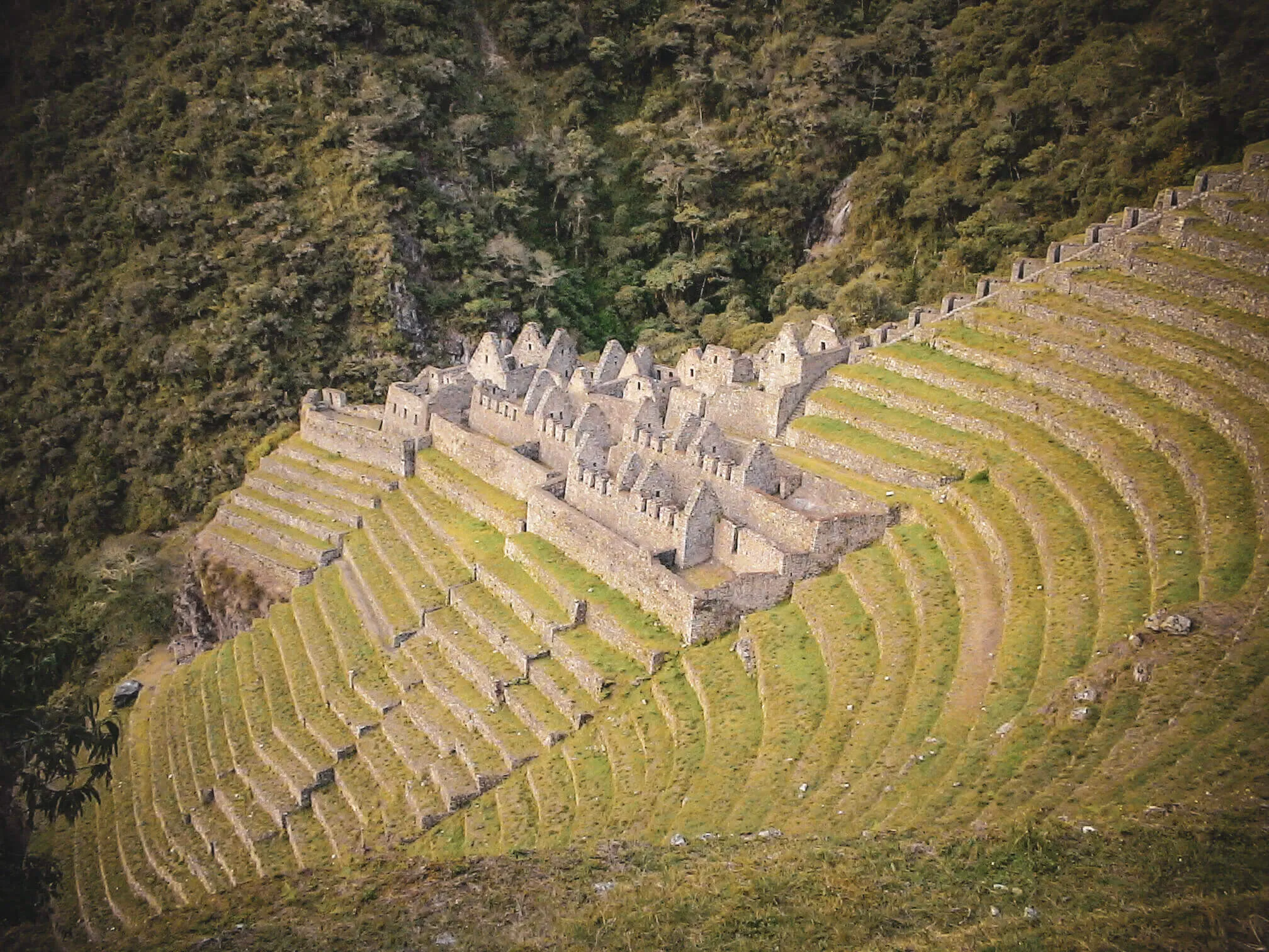
Final approach
Short Trail · Km 104 corridor
The route skips the Classic high-pass sequence. It does not skip archaeology.
Km 104 entrance sector
Principal shared monument
Historic gateway
Final protected site
How to read a site responsibly
Architecture can support several uses across time. A confident label such as “temple,” “guard post” or “royal room” needs more than an unusual wall.
Can support cultivation, drainage, stability and environmental control. Context matters before assigning one purpose.
Demonstrate deliberate capture and movement of water; ritual meaning may coexist with practical engineering.
Show occupation and organized space, but walls alone rarely prove whether use was residential, administrative or ceremonial.
Are archaeological fabric themselves—not neutral connectors between the “real” ruins.
Organize movement, sequence and visibility; exact access rules in the Inca period may remain uncertain.
Elevation, mountain views and water shape the site experience, but visual alignment is not automatically proof of astronomy.
A practical Classic rhythm
Early trail sections establish valley settlement and production through Willkaraqay and Patallaqta. Runkurakay appears in the high mountain corridor.
The later section connects Sayaqmarka, Qonchamarka, Phuyupatamarka, Intipata and Wiñay Wayna in closer succession as the environment shifts toward cloud forest.
Intipunku then frames the final approach rather than acting as a random viewpoint detached from the road.
Settlement · terraces · river corridor
Road infrastructure · exposed terrain
Dense site sequence · water · descent
Intipunku · Machu Picchu approach
The road is also an artifact
Stone steps, retaining walls, drainage and paving are part of the protected cultural resource. Conservation is not limited to keeping hands off the largest buildings.
Review trail safety and conductChoose by depth, not prestige
The multi-day progression, changing environments and broadest sequence of sites are central to why you want to hike.
Examine the four-day route →You want Chachabamba, Wiñay Wayna and the historic final approach without the Classic route's passes and camping.
Examine the Short route →The site sequence depends on the route
Classic and Short Trail inventory is separate. Availability is a planning signal, not a confirmed operator booking or a guarantee that every site is open for close entry on that date.
Understand regulated availabilityPlease wait while we check the selected date.
Dates in the same month currently showing permits
Availability data may be delayed. It does not guarantee a permit, tour departure or confirmed booking.
Archaeology questions
Names vary across Quechua conventions, Spanish spellings, maps and operator itineraries.
There is no universal total. Lists differ depending on whether they count smaller complexes, Intipunku, Machu Picchu and nearby remains separately. The route sequence is more useful than claiming one exact number.
The principal sequence includes Willkaraqay, Patallaqta, Runkurakay, Sayaqmarka, Qonchamarka, Phuyupatamarka, Intipata, Wiñay Wayna and Intipunku before Machu Picchu.
The Short route begins by Chachabamba, climbs to Wiñay Wayna and continues through Intipunku toward Machu Picchu.
Yes. It belongs to the final corridor shared by Classic and Short Trail hikers, reached from different starting points and after very different physical commitments.
The Classic Trail passes the broader sequence and provides more environmental transitions. The Short Trail condenses the experience around Chachabamba, Wiñay Wayna and the final approach.
They likely had different agricultural, residential, logistical, administrative and ceremonial roles. A single function does not explain every complex, and individual rooms often cannot be identified with certainty.
It is an archaeological gateway on the historic approach. Some lists count it among trail ruins; others treat it as a separate landmark, which contributes to varying totals.
Not necessarily. The designated route, conservation closures, timing and guide instructions determine access. Some places are viewed from the path rather than entered.
The trail itinerary governs access to route sites. Machu Picchu has its own regulated visit arrangement within the complete booking; confirm exactly what is reserved.
SERNANP and Peru's Ministry of Culture establish official route names, site sequence and current conservation context. UNESCO supports the wider cultural-landscape frame.
Where detailed original functions remain uncertain, this page describes observable features and labels interpretations rather than converting them into facts.
Do not rush from ruin to ruin
Follow the road, water and terrain as closely as the building names.