Day 01
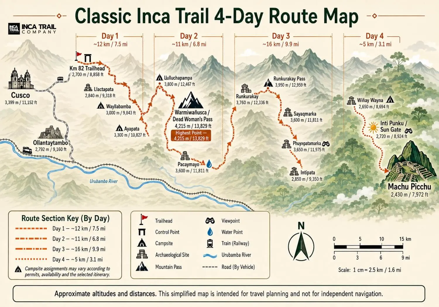
Km 82 → Wayllabamba area
The valley introduces the route
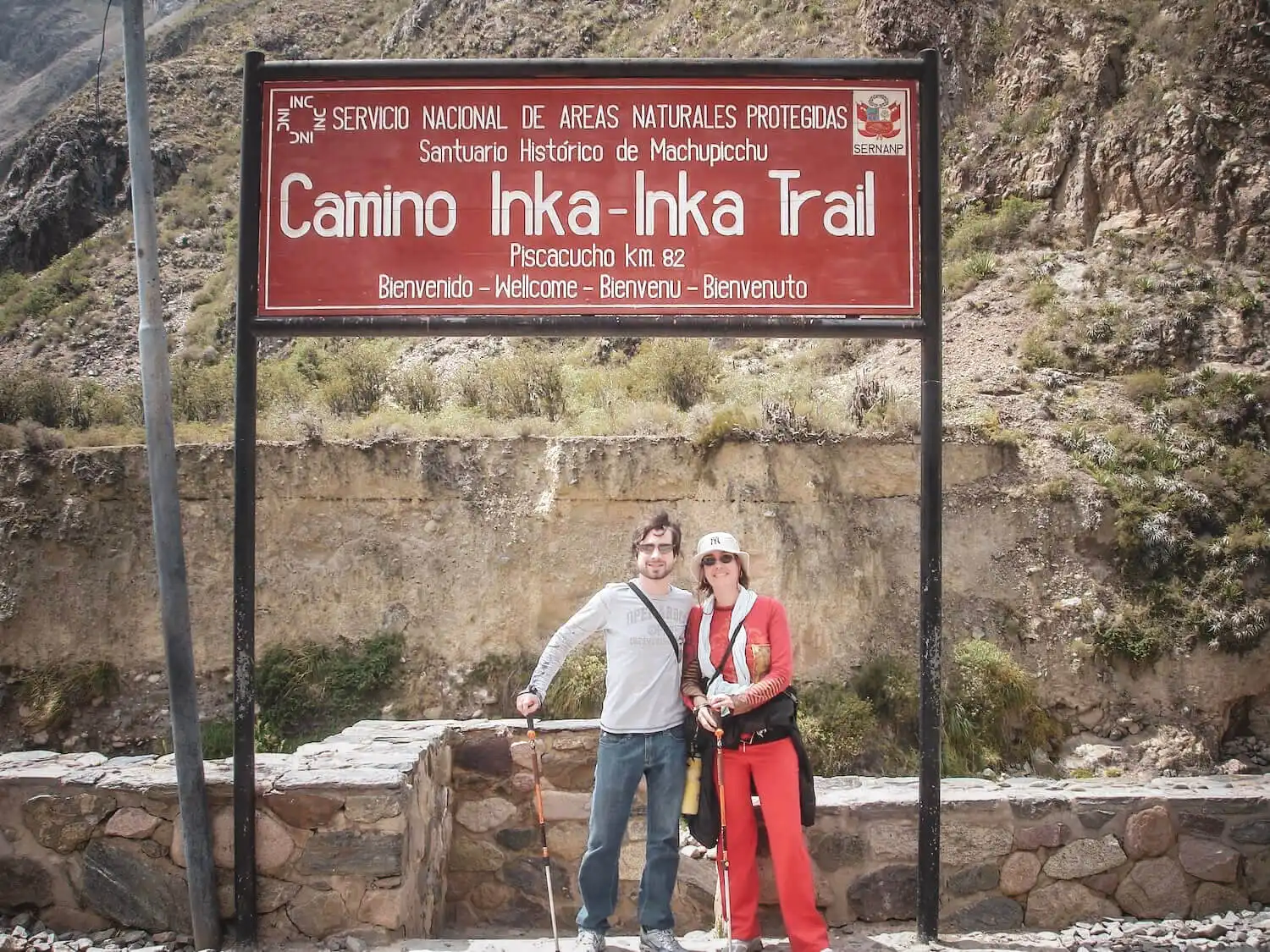
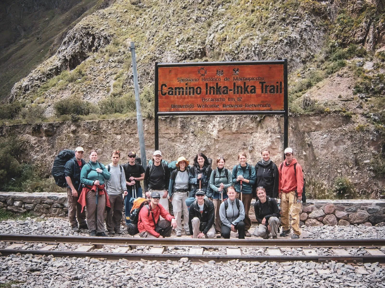
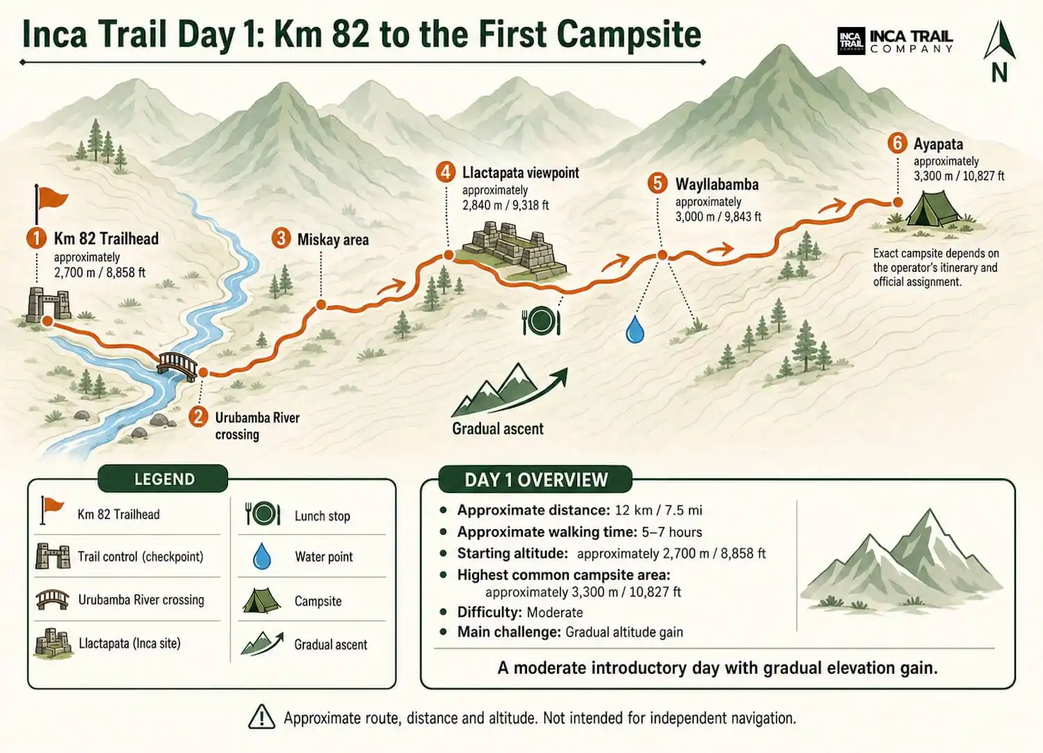
After the Km 82 control, the trail follows the Urubamba and Cusichaca valleys past views of Patallacta. The opening terrain is comparatively forgiving, but the climb becomes more consistent before camp.
- Typical distance
- About 12 km / 7.5 mi
- Highest terrain
- Around 3,100 m
- Common camp
- Wayllabamba or farther toward Ayapata
Do not use the easier opening kilometers to set an unsustainable pace. The campsite assigned to the group determines how much ascent remains for Day 2.