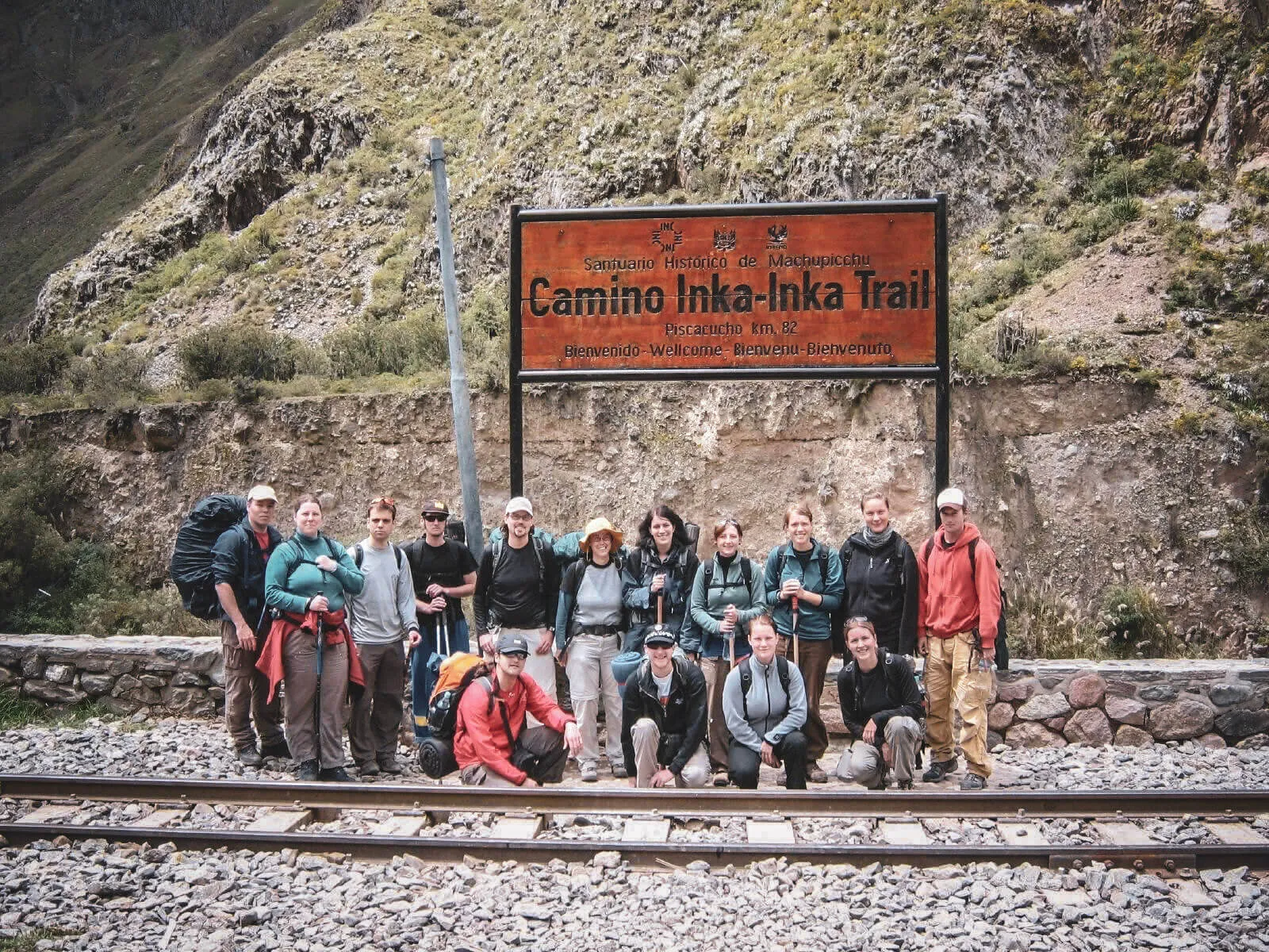
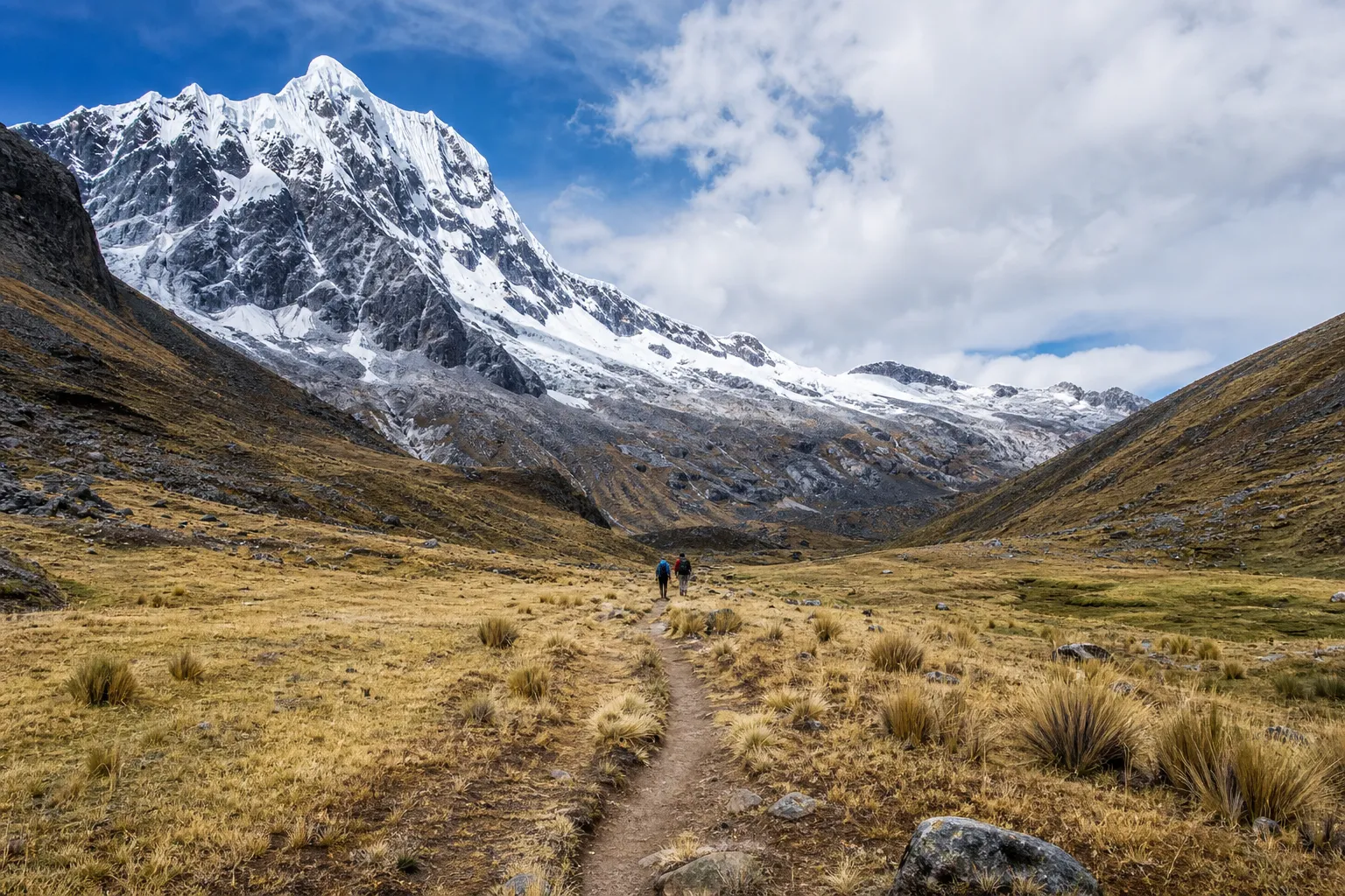
| Best for | Archaeology, historic road and the Inti Punku approach | Living Andean culture, quiet valleys and route flexibility |
|---|
| Route identity | One defined, regulated corridor | A region with several trailheads, passes and finishes |
|---|
| Typical format | 4 days / 3 camping nights | Usually 3–4 days; actual hiking days vary |
|---|
| Distance | 33.7 km official corridor; practical totals are often higher | No responsible universal figure—compare the exact itinerary |
|---|
| Highest point | Warmi Wañusqa · approximately 4,215 m | Route-dependent; PROMPERÚ references up to 4,550 m |
|---|
| Difficulty | Challenging stone stairs, ascent and long descent | Moderate to challenging; altitude and chosen pass decide |
|---|
| Archaeology | A defining sequence along the walk | Limited on most standard itineraries |
|---|
| Community context | Mostly protected natural and archaeological space | Inhabited valleys, farms, grazing land and textile traditions |
|---|
| Trail atmosphere | Popular, controlled and shared with trekking teams | Usually quieter, but these are working landscapes—not empty wilderness |
|---|
| Access | Dated permit through an authorized operator | No Classic Trail permit on a standard Lares route; local arrangements vary |
|---|
| Support | Guides, cooks and porter teams | Guides, cooks, muleteers and pack animals commonly support organized trips |
|---|
| Machu Picchu connection | The protected trail continues through Inti Punku | The hike normally ends elsewhere, followed by road and train |
|---|
| Planning flexibility | Low once dated inventory sells out | Higher for the trek, but Machu Picchu admission still has limited inventory |
|---|
| Price comparison | More structurally standardized | Highly itinerary-dependent; normalize hiking, camps, train, hotel and tickets |
|---|