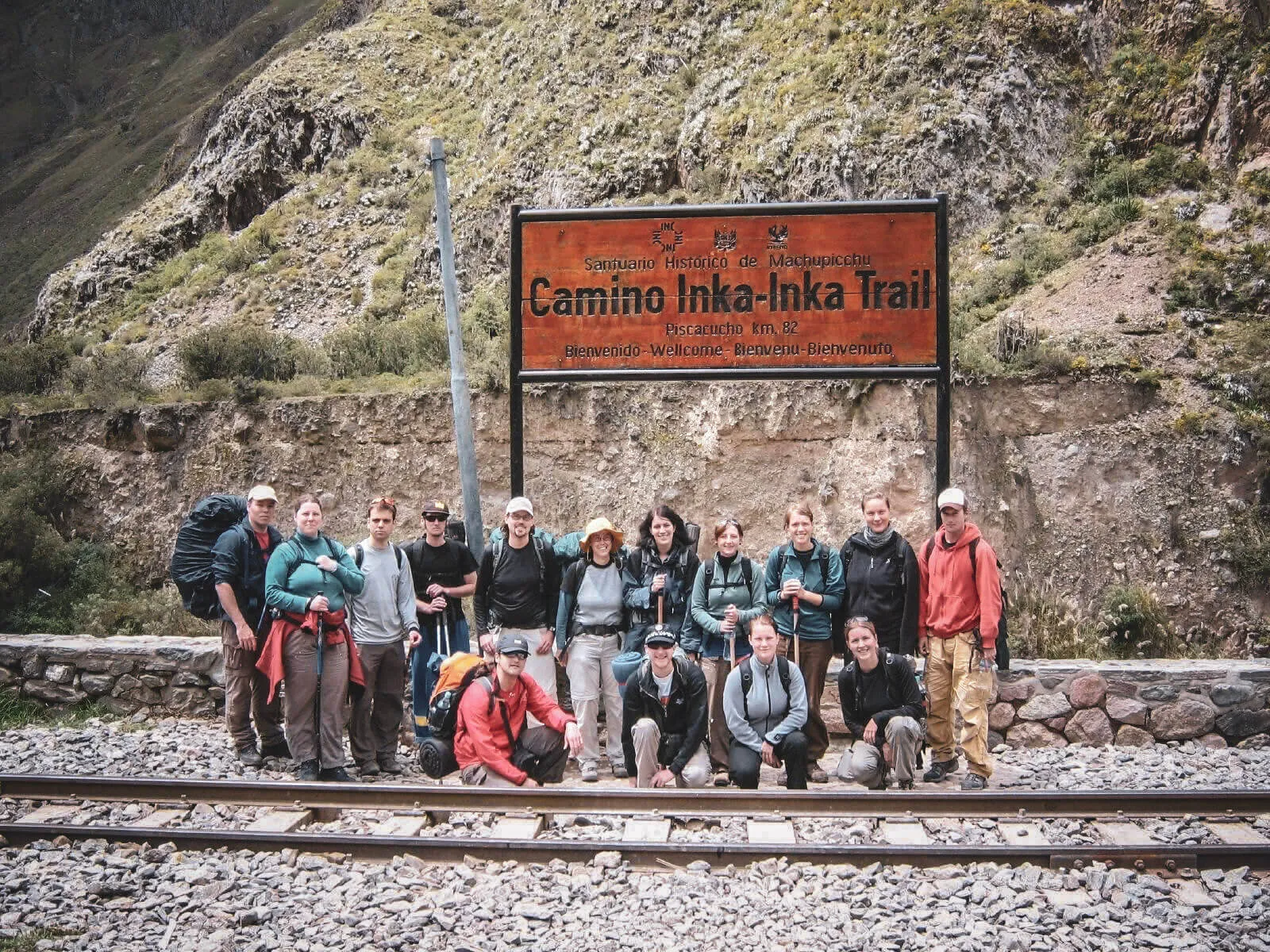
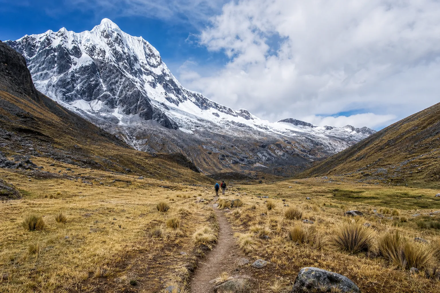
| Best for | Historic road, archaeology and the Inti Punku approach | High mountains, altitude and itinerary flexibility |
|---|
| Typical format | 4 days / 3 camping nights | Usually 4 or 5 days; commercial routes vary |
|---|
| Distance context | 33.7 km official corridor; practical totals often 42–46 km | Common five-day totals around 70–75 km; endpoints vary widely |
|---|
| Highest point | Warmi Wañusqa · approx. 4,215 m | Salkantay Pass · approx. 4,630 m |
|---|
| Overall difficulty | Challenging; stone stairs and repeated effort | Usually harder; higher pass and often longer days |
|---|
| Trail surface | Engineered stone road, stairs and mountain paths | Natural dirt, rock, mud and loose mountain terrain |
|---|
| Archaeology | A defining sequence throughout the route | Limited on the standard route; landscape is the focus |
|---|
| Scenery | Valleys, passes, cloud forest and sites | Snow peaks, exposed high Andes and ecosystem change |
|---|
| Access | Dated regulated access through an authorized operator | No Classic Trail permit on the standard route; local arrangements vary |
|---|
| Independent hiking | Not allowed on the regulated Classic Trail | More feasible for experienced trekkers, subject to current access |
|---|
| Accommodation | Three designated camping nights | Tents, cabins, domes, lodgings and a final hotel can vary |
|---|
| Support | Guides, cooks and porter teams | Guides plus cooks, muleteers and pack animals on organized trips |
|---|
| Machu Picchu connection | Historic corridor through Inti Punku | Normally Machupicchu Pueblo, then timed admission |
|---|
| Price pattern | Usually higher and more structurally fixed | Often more variable; low prices can remove walking or inclusions |
|---|